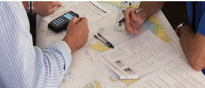
- Check on chart that the ground track is clear of hazards
- Make use of all marks to help you with your navigation, use churches, lighthouses, radio masts and headlands.
- Try to keep clear of traffic lanes.
- Annotate the chart with the courses and distances. Later on you will have to work out the correct course to steer for each leg.
- Think tides and the need to adjust for BST Work out the range of tide for the day so that you can quickly interpolate tidal strengths.
- Mark up the tidal graph for a local port so that you can quickly reduce to soundings a tidal height or depth.
- Draw up a list of way points and enter them into the GPS.
Checklist for Passage Planning
APPRAISAL: |
|
| 1 | All available charts for passage arranged. |
| 2 | Requisition sent for charts / pubs , approach charts for bunker/refuge ports enroute |
| 3 | Passage charts checked all corrected to date. |
| 4 | Sailing directions and supplements and corrections to sailing directions checked. |
| 5 | Light lists all corrected to date and onboard for areas of voyage. |
| 6 | ALRS’ all onboard and corrected to date. |
| 7 | Tide tables and Tidal Currents for route checked and relavant data collected for ready reference |
| 8 | Routing charts checked for guidelines on current and winds for the relevant period |
| 9 | Temporary and Preliminary notices checked. |
| 10 | Ocean Passages of the World, checked for passage. |
| 11 | Draught calculated for the various stages of the passage. |
| 12 | Dynamic UKC during passage verified ( inside 30 mtrs contour / Canal / narrow passages ) |
| 13 | Navigation marks and lights checked.Radar conspicuous points and coast lines checked. |
| 14 | Navigational warnings on Navtex as well as long range NAVAREA warnings |
| 15 | Weather reports taken, fax charts taken and weather routing done. |
| 16 | Latest US port advisory for list of countries rasining of Security level checked? |
| 17 | High Risk Area- Notification to P&I / MSCHOA/UKMTO checked? |
| 18 | Precaution/Procedure as per Latesr Best management practicses checked? |
| 19 | LSFO requirement for the passage discussed with the Chief engineer ? |
| 20 | Requirements for the passage advised by Chief Engineer ( Fuel / Lube/Chemicals/ FW / consumables) |
| 21 | If ECDIS fitted on board, Additional Checklist for ECDIS to be filled for passage plan |
PLANNING : |
|
| Passage plan format must contain all the following elements. | |
| 1 | Largest scale charts being used. Charts corrected upto latest NM received from digitrace |
| 2 | Co’s to be marked on charts in 360 degree notation, and checked against actual Co. |
| 3 | Distances between WPs marked. DTG and “waypoint co-ordinates” are marked at each waypoint. |
| 4 | Passage plan is prepared berth to berth |
| 5 | Waypoints entered into all electronic navigation equipment/ ETA for each way point to be calculated |
| 6 | Abort Point are to be marked on Narrow Passage/ Approach charts |
| 7 | Hazards, no-go and dangerous areas to be marked on charts including harbour charts /pilotage waters |
| 8 | Cross track error margins to be indicated, as applicable, on charts. |
| 9 | Bearing and distance from alteration points marked. |
| 10 | Radar conspicuous objects, coastline radar objects / shapes, indicated on charts. |
| 11 | Passage plan to have ETA to WP and place to record actual passing of WP ( during execution) |
| 12 | Danger clearing bearings and distances indicated on charts. |
| 13 | Parallel indexing distances to be indicated. |
| 14 | Safe and practical speeds for each stage of passage to be decided by Master |
| 15 | Areas where restricted visibility may be expected, and additional lookout required are identified |
| 16 | Areas where traffic may be heavy or converging /crossing to be indicated. |
| 17 | Minimum under keel clearance for each stage to be more than 30 CM after allowing Squat. |
| 18 | MARPOL regulations incorporated in Passage plan in relation to Annex 1 , V and VI |
| 19 | Contingency Anchorages to be identified on approach chart / vicinity of narrow Passages |
| 20 | Strength of navigational watch to be decided for the various stages of the plan. |
| 21 | Position fixing frequency to be decided for various stages of passage & included in plan. |
| 22 | Tides/ currents written on chart for the narrow passage / ports ? |
| 23 | Passage Plan to be Signed by Master / Chief Engineer/All Navigating officers/ cadets. |


