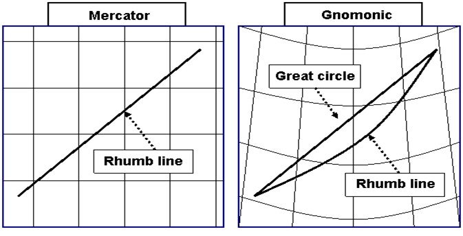
For a Gnomonic Projection, imagine placing a screen tangential to the Earth’s surface and then project the features onto it (obviously this is done mathematically).
This projection can be used in polar regions where a conventional Mercator Projection would not work, it is also used for large scale Harbour plans and charts for planning ocean crossings.


