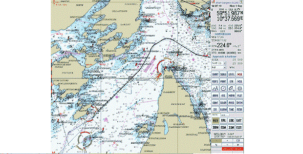
ENC stands for “Electronic Navigational Chart”.The term was originally introduced for digital chart data complying with the IHO chart data transfer standard S-57.
ENC means the database, standardized as to content, structure and format, issued for use with ECDIS on the authority of government-authorized Hydrographic Offices. The ENC contains all the chart information useful for safe navigation, and may contain supplementary information in addition to that contained in the paper, which may be considered necessary for safe navigation
By IMO definition ENCs can only be produced by or on the authority of a government authorised Hydrographic Office or other relevant government institution; however the term ENC is not protected and has been widely (and incorrectly) used by private organisations to refer to their own products.To avoid possible confusion the word “official” has been used as a prefix to ENC in this document.
ENCs are vector charts compiled from a database of individual geo-referenced objects from Hydrographic Office’s archives including existing paper charts
Official ENCs have the following attributes:

