- ENC content is based on source data or official charts of the responsible Hydrographic Office;
- ENCs are compiled and coded according to international standards;
- ENCs are referred to World Geodetic System 1984 Datum (WGS84);
- ENC content is the responsibility of the issuing Hydrographic Office;
- ENCs are issued only by the responsible Hydrographic Office; and
- ENCs are regularly updated with official update information distributed digitally
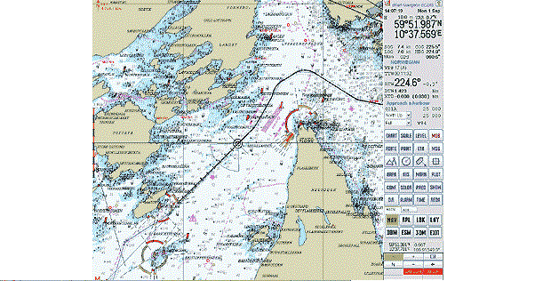
- An ENC is a digital chart produced by National Hydrographic Offices which complies with the IHO’s (International Hydrographic Organisation’s) S-57 Edition 3 product specification, which describes in detail the structure and format to be used by the Hydrographic Offices for the exchange of ENC (Electronic Navigational Chart) data between themselves, manufacturers and other users. In short, this is the specification for the electronic charts to be used in the approved ECDIS.
- An ENC contains all necessary navigational information, which is not shown on paper charts, e.g. characteristics of objects such as lighthouses, lights, bouys, etc.
- Official ENCs fulfil the IHO S-57/3.1 product specification and have the most recent updated data from originating National Hydrographic Offices. When used in an ECDIS, ENC data facilitates unique functionality that improves the safety of navigation at sea.