In drawing up a Passage Plan, the Master shall NOT be too much swayed by how to shorten the distance but Select an Optimal ship track
Ocean and Open Waters
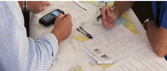
Enter the planned ship track on a small-scale chart to obtain its approximate distance. The following are among the points to be considered when setting ship course line:
- Select an optimal ships course. (Great Circle , Composite or Rhumb. Line in the order of preference, subject to prevalent weather conditions)
- Use information from Sea and Weather forecast and, in case a Weather Service is adopted, information on recommendable Ships Routing.
- Besides above analyzing , the Master shall select the route which is expected Minimum Fuel Consumption and Minimum Hours Under Way.
Coastal and Restricted Waters
In the case of coastal and restricted waters navigation, there are certain restrictions on the navigation of ships due to the available width of channel, water depth, heavy shipping traffic, IMO traffic separation schemes etc.


