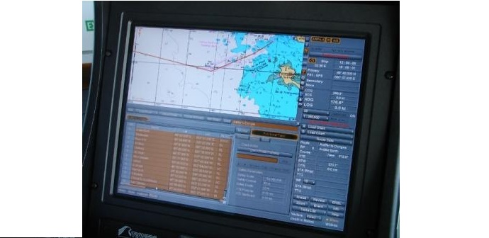
Errors Of Interpretation
- Ignoring over scale of display
- Uncritical acceptance of own ship position
- Ignoring difference between True & Gyro North
Confusion Between Different Type Of
- Vectors
- Display mode
- Reference system
Errors In Displayed Data
- Source Error : An electronic chart can be as good as the original data it was derived from.
- Object Size Error : The items on the chart are not drawn to scale
- Position shift : There will be position shift shown between GPS and actual position on the chart if the GPS and the chart are using different datum’s.
- Reference Shift or Mismatch : A difference in the matching during superimposing of the two displays .

Related Searches
- What is ECDIS? & what are its advantages?
- Who approves the ECDIS?
- What are Limitations of ECDIS?
- What are ECDIS Back-Up Requirements?
- Difference between RCDS AND ECDIS?
- CURRENT IHO ECDIS and ENC STANDARDS?
- What to do in areas without official ENC coverage?
- What is ECS ( ELECTRONIC CHART SYSTEM)?
- What are RASTER Charts?
- What are the disadvantages of RASTER charts?
- What are the advantages of raster charts?
- What are the disadvantages of Vector charts?
- What are VECTOR chart?
- What are the advantages of VECTOR charts?