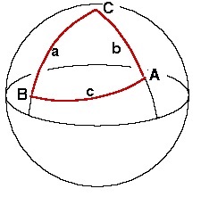
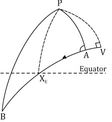
Great circle sailing involves the solution of courses, distances, and points along a great circle between two points.
Great Circle Sailing is used for long ocean passages. For this purpose, the earth is considered a perfect spherical shape; therefore, the shortest distance between two points on its surface is the arc of the great circle containing two points. As the track is the circle, so the course is constantly changing, and the track must be broken down into a series of short rhumb lines at frequent intervals that can be used to sail on the Mercator chart. Doing this, the navigator would use the Gnomonic charts combined with the Mercator charts to draw the sailing track.


