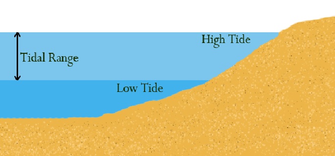
Tidal Range Whether a tide is neap or spring (or an intermediate) is determined not by the height of high water but by the difference between the height of high water and the next (or preceding) low water. This is called the...
Tidal Range Whether a tide is neap or spring (or an intermediate) is determined not by the height of high water but by the difference between the height of high water and the next (or preceding) low water. This is called the...
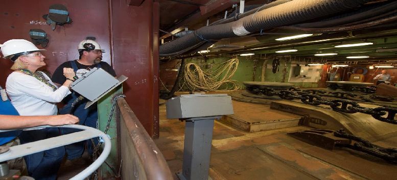
Tests on Anchor cables: Tensile Breaking Load Tests- The number of samples to be taken from lengths of the same grade and diameter presented for testing at one time depends on the method of manufacture of that grade of anchor...
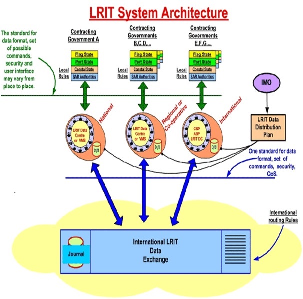
The Long Range Identification and Tracking (LRIT) system is a designated International Maritime Organization (IMO) system designed to collect and disseminate vessel position information received from IMO member States ships that...