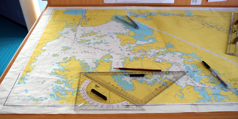
A nautical chart, whether paper or electronic, is an extraordinarily detailed representation in two dimensions of a three-dimensional world. It uses a precise, multilayered symbology that can orient you at a glance yet reward each additional increment of study with new information. Nautical charts are the starting and ending points of navigation.
GPS coordinates do you little good until plotted on a paper chart with dividers or on an electronic chart through GPS interface. Compass courses steered and bearings to navigation buoys or landmarks won’t tell you where you’re going or where you are until plotted on a chart. And you can’t unlock the messages of surrounding landforms, navigation aids, and ledges until you can relate what you see on deck to what you see on a chart.
Most paper charts use symbols standardized by the International Hydrographic Office (IHO), but the U.S. sometimes differs.